[Portolan atlas]
Click to view full content
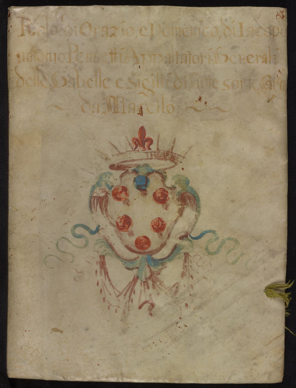
The Manuscripts Division has Kane MS. 57, a portolan atlas (Spain or Italy, 3rd quarter of the 16th century), with four charts. The charts give place names (probably in Catalan) on the landward side of the coastline, and also provide rhumb lines, compass points, and latitudes (only on maps 3-4).Decoration: Maps in red, brown, gold, and green, with red borders, similar to the Olomouc atlas, but the latter is far more highly decorated. The names of more significant ports and safe harbors are in red. Upper cover has coat-of-arms in brown, blue, and red.