Digital Maps and Geospatial Data Portal (PULMap)
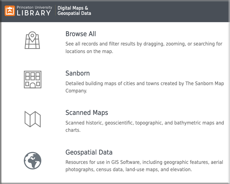
Princeton’s Digital Maps and Geospatial Data Portal (PULMap) provides users the opportunity to discover a selection of datasets and scanned historical maps from our collections, as well as the collections of other partner institutions. Patrons may easily search for and browse online content in a variety of ways, including a user-friendly spatial search, to find relevant data on a particular location on earth.
Learn More about PULMap
The Library regularly purchases digital maps and geographic data from around the world in the service of our students, researchers, and the global community. While much of the content is freely available in our portal, some maps and datasets are restricted to Princeton University-affiliated patrons or “on-site only” use.
If you need help with discovery of or access to materials, please contact Tsering Wangyal Shawa, GIS and Map Librarian, via the Contact Us page.